Google Street View has received one of the biggest updates in recent years. It is now available in nearly 80 countries, some of which feature Street View imagery for the first time. This feature, available on Google Earth and Maps, links together billions of panoramic images to provide street-level views that users can access from home. After the update, users will be able to access more scenic locations, with contributions from its more portable Street View camera.
Google Street View update
In a blog post, Google detailed the new updates coming to Google Earth and Maps. Street View will now be available in 80 countries, including Australia, Bosnia, Brazil, Denmark, Japan, Liechtenstein, Namibia, Paraguay, Philippines, Rwanda, Serbia and South Africa. The Mountain View-based tech giant also unveiled its latest Street View camera, which it claims can be mounted on any car weighing approximately 7kg.
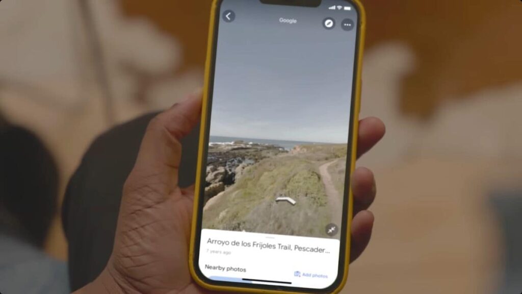
Updated Street View images from around the world will now be available, allowing users to see distant locations up close.
It also strives to sharpen images on Google Earth and Maps using its artificial intelligence (AI) cloud removal technology. The company uses its Cloud Score+ AI model to remove elements such as clouds, cloud shadows, haze and fog from images. Meanwhile, weather patterns such as ice, snow and mountain shadows will be visible on the map.
Google also announced historical images for Earth. Users will be able to explore changes in geography using its library of satellite and aerial images dating back as far as 80 years. The company claims it can help users understand how “human activities and climate change have affected forests.”
Users can also use the Timelapse feature to get a visualization of how locations have changed over time. This will allow them to access custom projects created in Google Earth directly from the newly designed home screen. The feature is said to be an interactive experience built from millions of satellite images.